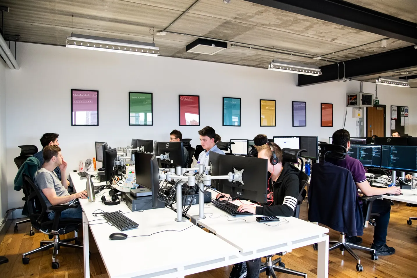
Experience
Software Development
Geo Spatial
Businesses seeking to leverage Unified Spatial Intelligence Across Land, Sea and Human Movement require a partner with proven technical depth, architectural vision, and a track record of delivering robust, scalable, and secure solutions.
Unified Spatial Intelligence Across Land, Sea and Human Movement
We specialise in geospatial technologies that interpret the physical world—whether the subjects being tracked are drones scanning fields, autonomous vessels navigating open water, or people moving through real world spaces. Across these different environments, we apply deep expertise in real-time telemetry, spatial data processing, cloud native engineering and map-based interfaces to deliver accurate, context aware intelligence at scale.
A Connected Ecosystem of Sensors, Telemetry and Spatial Data
Although each sector and project demands its own unique approach, our work is grounded in a strong understanding of how environmental, positional and sensor driven data can be captured, processed and transformed. We draw on a wide range of geospatial techniques—applying the right combination for the specific context, domain and hardware involved.
Land & Environmental Data
In our work related to agricultural and land-based settings, drone platforms stream high resolution field imagery into cloud environments built on containerised microservices and Kubernetes based orchestration, enabling reliable syncing even with unstable connectivity and seamless data restoration across devices. Terrain analysis, hazard datasets, field boundaries and crop type metadata enrich the imagery, allowing systems to perform safe navigation, complex geospatial modelling and evidence-based field insights.
Marine Telemetry & Autonomous Control
We have built autonomous marine systems, where our geospatial engineering focuses on integrating onboard navigation instruments, thrusters, PLCs and diagnostic hardware with real-time telemetry pipelines. Autopilot logic runs locally while data is transmitted via protocols such as NATS.io and MQTT. Cloud side fleet portals—built for resilience—manage vessel configuration, routing and analysis through Kubernetes based services tailored to the demands of open water environments.
Human Centred Spatial Awareness
Our experience across consumer facing apps has allowed us to adapt the same geospatial principles to human movement. GPS provides macrolevel location, while Bluetooth enables proximity level accuracy. Wi-Fi and sensor fusion techniques maintain continuity in low signal environments. These inputs feed live maps that reflect nearby users and their movements in real time, supporting social discovery, proximity-based interactions and behavioural insight.
Across these varied sectors, the common thread is not a single technical base, but a shared expertise in capturing, processing and visualising spatial data—applied differently depending on the real-world challenge.
Transforming Movement into Meaningful Insight
Wherever movement occurs—across landscapes, oceans or human environments—we convert raw spatial signals into insight that supports decision making, automation and user engagement.
Real-Time Mapping & Visualisation
Platforms that we have built generate dynamic maps that blend environmental overlays with high frequency positional updates, creating a clear operational picture whether monitoring crops, coordinating vessels or interpreting human movement patterns. These maps adapt intelligently to context: updating rapidly when movement is significant, preserving resources when conditions are stable, and surfacing meaningful changes the moment they occur.
Spatial Computation & Safety Logic
Underpinning these maps is advanced spatial computation. The techniques we use to optimise drone flight paths—such as hazard avoidance, elevation modelling or boundary aware routing—translate seamlessly into vessel navigation logic, collision avoidance heuristics or proximity detection algorithms for human location apps. This shared mathematical toolkit enables consistent accuracy, even though each domain has its own operational constraints.
From Raw Signals to Actionable Understanding
We don’t just plot movement—we interpret it. Movement patterns can reveal crop stress, identify anomalies in marine behaviour, support social interaction design, or generate high precision route imagery. By combining telemetry with contextual layers such as terrain, obstacles, proximity thresholds or environmental conditions, we help organisations shift from reactive observation to proactive, insight driven action.
Robust, Cloud Native Foundations
Our experience, though varied in its application, all shares a commitment to engineering quality:
- Containerised microservices and autoscaling Kubernetes clusters provide resilience and scalability across all deployment environments.
- Secure, API driven architectures unify data from sensors, applications and third-party mapping services.
- Privacy, permissions and GDPR aligned controls are consistently applied, from agricultural systems to human location apps.
- Map centric interfaces simplify complex geospatial logic for a wide range of users.
A Single Capability, Many Powerful Applications
From drone driven field intelligence and marine autonomy to real-time human location discovery and precision route rendering, our geospatial expertise adapts seamlessly to each challenge. Every solution benefits from our deep understanding of spatial computation, telemetry, cloud architecture and mapping—applied in the way that best suits the problem and environment.
Ready to Bring Your Geospatial Vision to Life?
Whether you're developing autonomous systems, building a location driven consumer app, modernising an existing geospatial platform, or exploring a transformative new idea, we can help.
We bring technical depth, domain versatility and a proven ability to translate complex real-world environments into digital intelligence. If your project involves movement, mapping, devices, automation, insight or spatial data—we’re ready to partner with you.
Get in touch to start the conversation.
More Experience
Eyebrow Text Here

Businesses seeking to leverage IoT technology require a partner with proven technical depth, architectural vision, and a track record of delivering robust, scalable, and secure solutions.

AVAMAE's reputation in autonomous vehicle technology is built on delivering robust, scalable, and secure solutions for various environments, including aerial and marine.

We've worked extensively with multi-feed data sources, automated odds pipelines, and historical pricing models designed to support auditability and consistent line management.

Our experience spans digital assessment: personality measures, ability tests, situational judgement tasks, strengths based assessments, 360degree feedback, virtual interviews and structured multistage application flows.

Our systems demonstrate how well designed technical architecture can support complex travel businesses operating at scale.
At the core of the PropTech solutions we have built is the transformation of everyday infrastructure into high performing digital ecosystems.

We've delivered systems across digital banking, hybrid crypto / fiat infrastructure, institutional analytics and front office investment tools — each built for performance, clarity and long term resilience.

In a rapidly evolving educational landscape, our team has consistently delivered transformative digital solutions that empower educators and learners.